Search
DONATE
Protagonists
Main Themes
Location
Financial/Statistical Data
Featured Works
Key Events
Demo Video & News
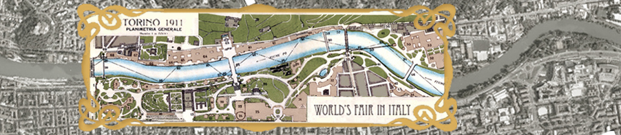
Bridging Science, Arts, and Humanities, in Winter 2018 a collaborative group of researchers from the University of California San Diego took the first of numerous trips to Turin, Italy, to digitally map an entire portion of the city — complete with historic architecture, expansive murals and stunning works of art.
The work is being conducted as a project of the Division of Arts and Humanities, the Cultural Heritage Engineering Initiative at the Qualcomm Institute, and Turin’s Polytechnic University.
Led by Division of Arts and Humanities Dean Cristina Della Coletta, the Turin fieldwork brings together Arts and Humanities, Englineering, and Archtecture students from both Institutions.
Meetings, Courses, and Symposia
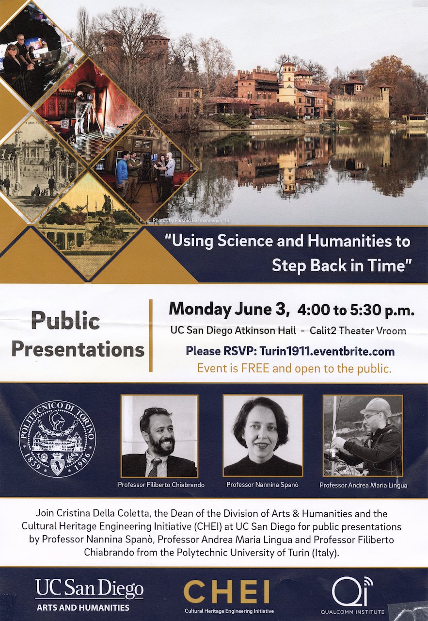 |
Using Science and Humanities to Step Back in Time Professors Chiabrando, Spanò and Lingua of the Polytecnic University of Turin traveled to UC San Diego in the early Summer of 2019 to present their research, visit our campus facilities, and discuss the next steps of the Turin 1911 initiative. Professor Chiabrando introduced the project “Turin 1911,” and the realization of a multi-scale reconstruction of the no-longer existing structures in the park, focusing on the different research methods and systems employed for the documentation of complex cultural heritage sites. |
Professor Lingua documented the activities of the laboratory of Photogrammetry, Geomatics and GIS of the Department of Environment, Land and Infrastructure Engineering at PoliTo, and described the technological expertise of the laboratory, including mechatronic technology on service robots, multi sensors data acquisition, synchronization, fusion and integration using navigation sensors (GNSS, IMU), imaging sensors (high resolution digital camera in visible, infrared, thermal, multispectral, hyperspectral fields), terrestrial/aerial laser scanner, real-time processing and transmission of stereoscopic RGB data and 3D models for virtual/augmented reality. Professor Spanò focused on the activities of the Geomatics for Cultural Heritage Lab of the Politecnico di Torino, highlighting cooperation activities with various national and international collaborators.
Digital Memories: Modeling and Strategies
 |
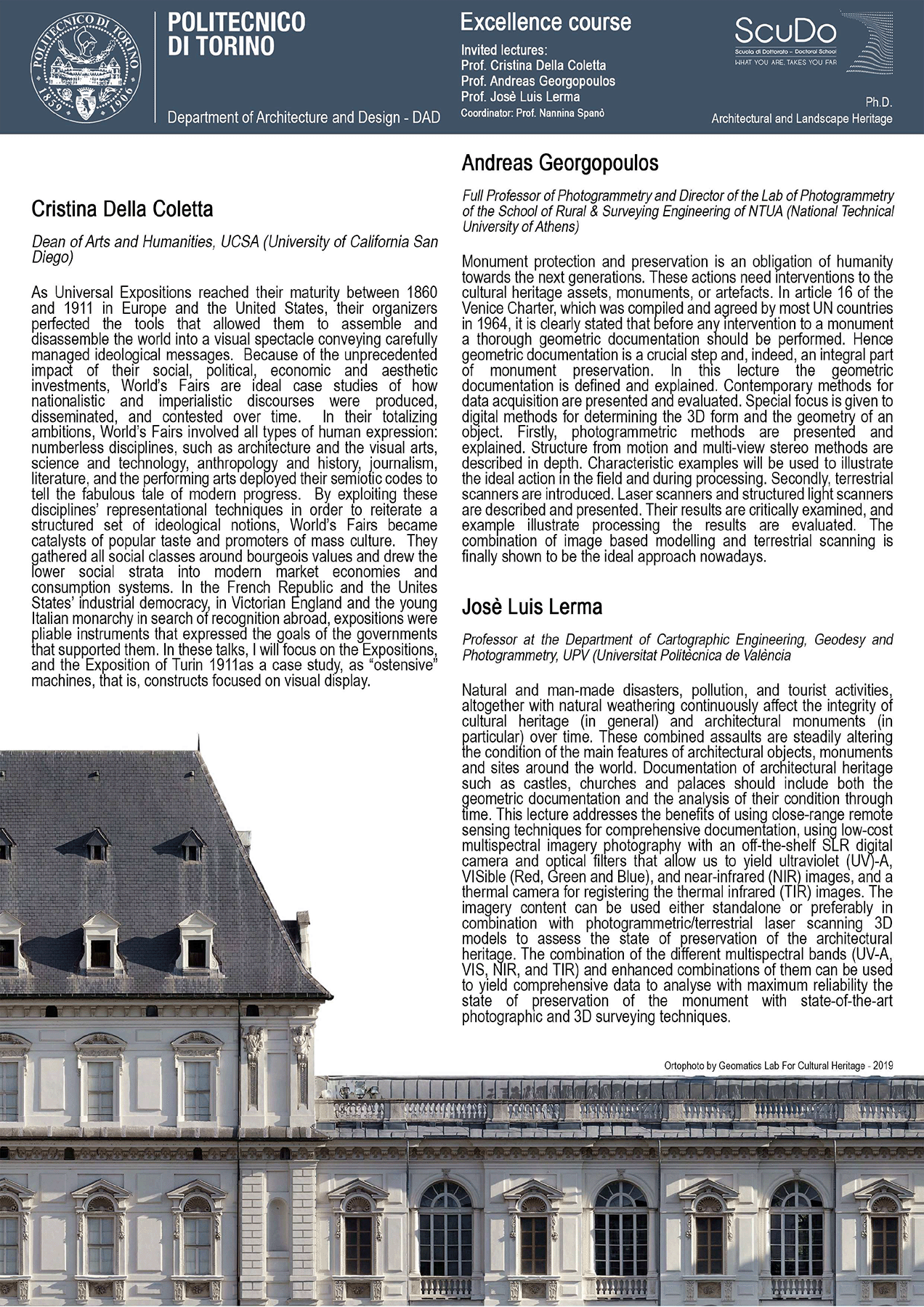 |
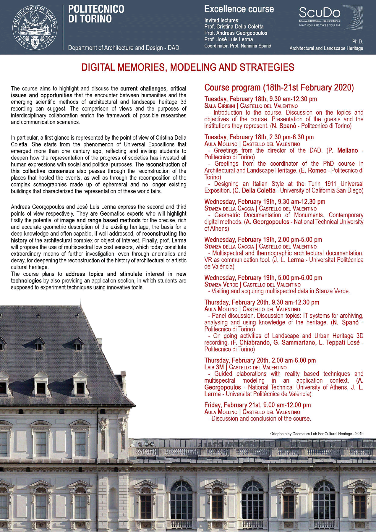
Held in the Castello del Valentino, Turin, this course, designed for PhD students by Professor Spanò, brought scholars from Italy, Greece, Spain, and the U.S. together to discuss the pioneering encounter between the Humanities and the emergins scientific methids of architectural and landscape heritage 3D reconstruction.